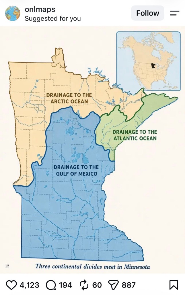
I’m never quite sure how they draw the watersheds off a continental divide. A drop from a storm cloud over Minnesota can end up in one of three basins, hundreds of miles from here: Hudson Bay, the Atlantic by way of the Great Lakes, or straight south on the Mississippi to the Gulf of Mexico. You cannot tag a drop the way you band a migrating waterfowl and wait to see where it lands.
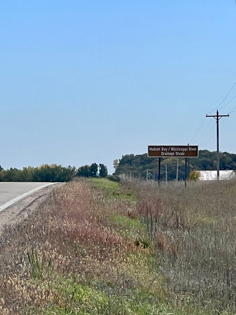
The sign announcing the great divide doesn’t help. Hardly a peak, hardly a break in the land. Just another crest on a meandering country road, grass gone to seed on both shoulders, and a brown board that says the water on one side is bound for Hudson Bay and the water on the other for the Mississippi.
They figure it by elevation. Surveyors follow the high ground — the Laurentian Divide, what the old maps called the height of land — and mark where a raindrop has no choice but to run one way or the other. Near Hibbing the St. Lawrence Divide crosses it, at a place the Ojibwe called the Hill of Three Waters. Same trick of the land. No drama, just a highland plain, and three oceans waiting.