
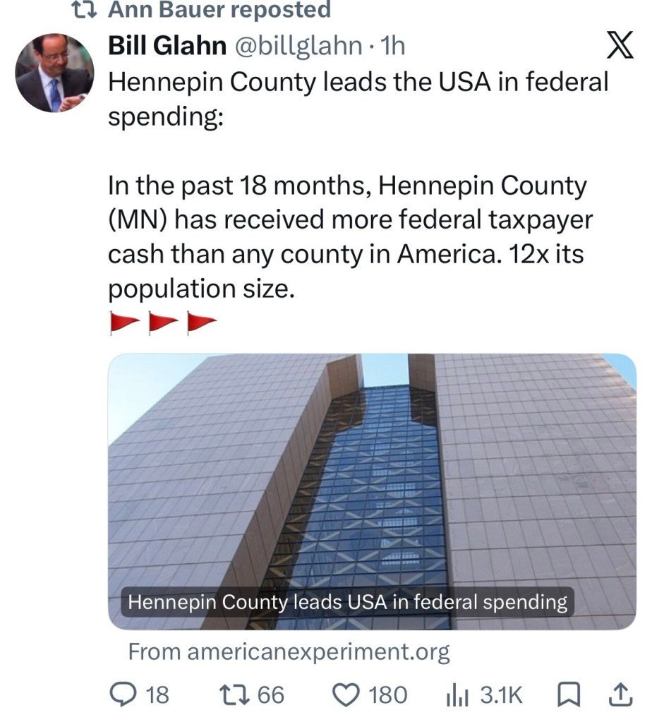
Headlines like this have been crawling over my X feed since an article, Who Gets the Money? Federal Spending by County in 2025-26, was posted on Smart Assets on Friday.
What is thus study actually about?
“Who Gets the Money?” aggregates ~18 months of prime-award obligations (Jan. 1, 2025–June 30, 2026) from USAspending.gov across 3,132 counties. It uses place of performance (where the work or activity is recorded as occurring), includes contracts, grants, and direct payments, and excludes loans, certain indefinite-delivery vehicles, and federal payroll. Per-capita figures use Census July 2025 population estimates. The methodology section is published on the page.
USAspending.gov is the official DATA Act source. Using it is standard.
The biggest limitation (they disclose it)
Place-of-performance tagging for Medicare is often the insurer’s or claims processor’s headquarters, not where beneficiaries live or receive care. That is why Hennepin County, Minnesota (UnitedHealth HQ in Eden Prairie) shows ~$286 billion—about 4.7% of the study’s tracked. Those headline totals do not mean all that cash landed on local residents.
Still- the idea of a geographic accounting of money flow is a useful one, especially at the municipal level. A large shift in federal dollars could be a substantial liability. If many if your vulnerable residents were receiving section 8 payments, the future of the program is of interest to the community. It seems tracking the flow of federal dollars would also serve as a useful indicator of possible misappropriation.


