Understanding flood zones is crucial because they directly affect the safety of homes, businesses, and infrastructure. Knowing whether a property is in a high-risk flood area can help individuals and communities prepare for potential disasters, take necessary precautions, and make informed decisions about insurance. Floods can cause significant property damage, disrupt lives, and even lead to loss of life, making it essential to assess and understand the risk of flooding in any given area.
This is where FEMA maps come in. These maps, created by the Federal Emergency Management Agency, provide detailed information about flood zones, identifying areas with varying levels of flood risk. They help communities plan for floods, guide building regulations, and determine where flood insurance is required. Essentially, FEMA maps serve as a vital tool for understanding and managing flood risk.
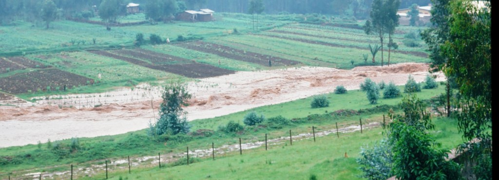
This is the search result for 183 Dana Ave, Columbus (Franklinton) Ohio.

You will note the comment on the map that references the reduced risk due to a levee. The whole area hashed over in blue and white stripes, is protected by a seven-mile flood wall completed in 2004.
This has significance for property values as it lowers the cost of homeownership. Generally, property insurance in a flood zone can run three times the cost for the same property in a low risk area.