
I’m pretty sure these photos were taken on a trip through the Indus River valley, and on up to a hill station in the most northern part of Punjab province, Pakistan. The only lost city that makes sense is one established by the Greeks when they invaded India in 180BC, the city of Sirkap. But if anyone out there can confirm? It would be a great help in confirming a segment of my childhood travels.


From Wikipedia:
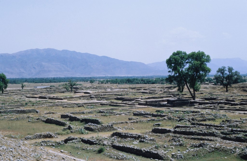
The site of Sirkap was built according to the “Hippodamian” grid-plan characteristic of Greek cities. It is organized around one main avenue and fifteen perpendicular streets, covering a surface of around 1,200 by 400 meters (3,900 ft × 1,300 ft), with a surrounding wall 5–7 meters (16–23 ft) wide and 4.8 kilometers (3.0 mi) long. The ruins are Greek in character, similar to those of Olynthus in Macedonia.
Numerous Hellenistic artifacts have been found, in particular coins of Greco-Bactrian kings and stone palettes representing Greek mythological scenes. Some of them are purely Hellenistic, others indicate an evolution of the Greco-Bactrian styles found at Ai-Khanoum towards more indianized styles. For example, accessories such as Indian ankle bracelets can be found on some representations of Greek mythological figures such as Artemis.
Wikipedia
